

Located 25 miles north of NYC in southern Westchester.
Open Sky Imaging is an owner operated company specializing in a wide array of drone imaging services. Serving Westchester, Rockland, Putnam, & Fairfield counties.
Aerial Services

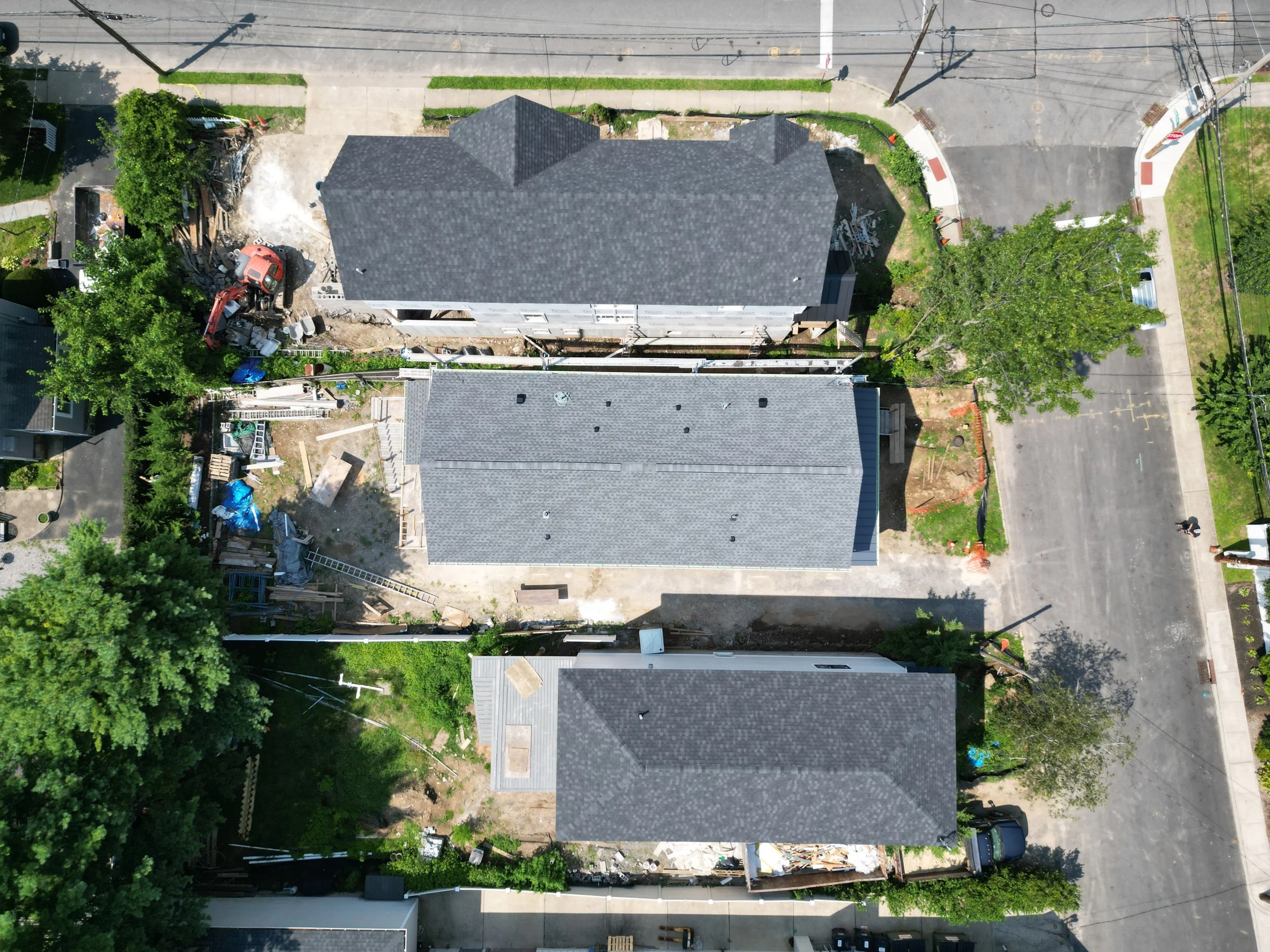
Utilizing OSI’s DJI Mavic 3 Enterprise and it’s advanced zoom lens we can provide high-resolution photos and videos, offering home inspectors and project managers a new way to analyze their properties. This innovative approach enhances the efficiency and accuracy of building assessments, providing a valuable tool for inspectors to make informed decisions and offer comprehensive reports to their clients.
Aerial Drone Inspection

Aerial Mapping
Aerial Mapping services focus on delivering high resolution 2D maps, which have a wide array of applications ranging from construction project progression, land surveying, environmental monitoring, and infrastructure development.
Aerial 3D modeling involves combining aerial and ground images through a specialized mapping software to create detailed three-dimensional models of landscapes, buildings, and infrastructure. This technology enhances decision-making processes by providing a comprehensive visual understanding of topography, spatial relationships, and structural conditions.
Click on image to interact with the 3D model.
3D Modeling
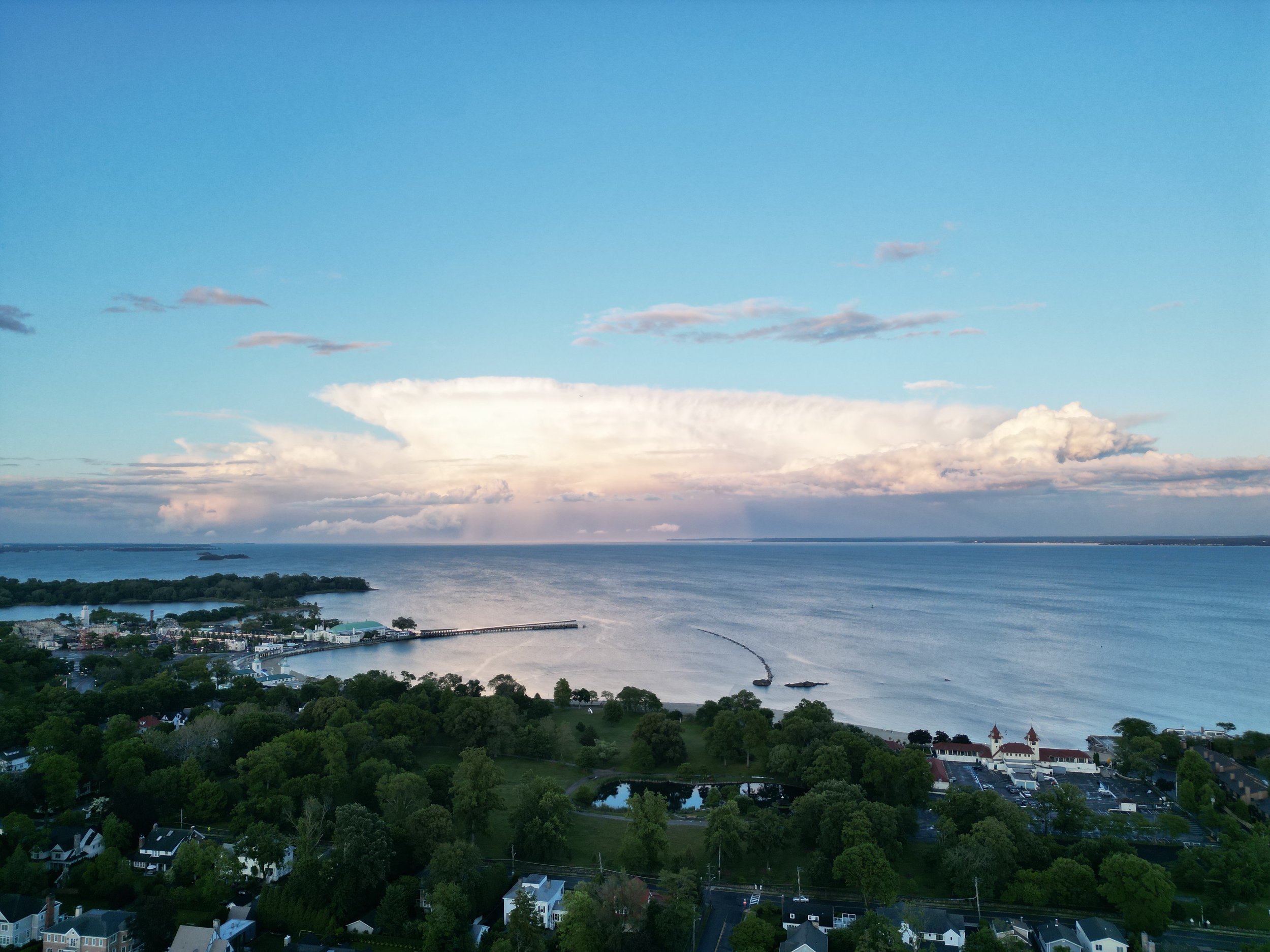
Aerial Real Estate Photo & Video
Using drones designed to capture high definition photos and video, OSI can capture your listing from the air and provide your clients with a unique view of their potential new home.
*The 3D model below is best viewed on desktop.*
Contact OSI
Need to get a better look at your job site? Have an event you want captured from a new perspective? Contact us for a free consultation!
Contact Matt Zar - Owner-Operator
Matthew.Zar@OSIDrone.com